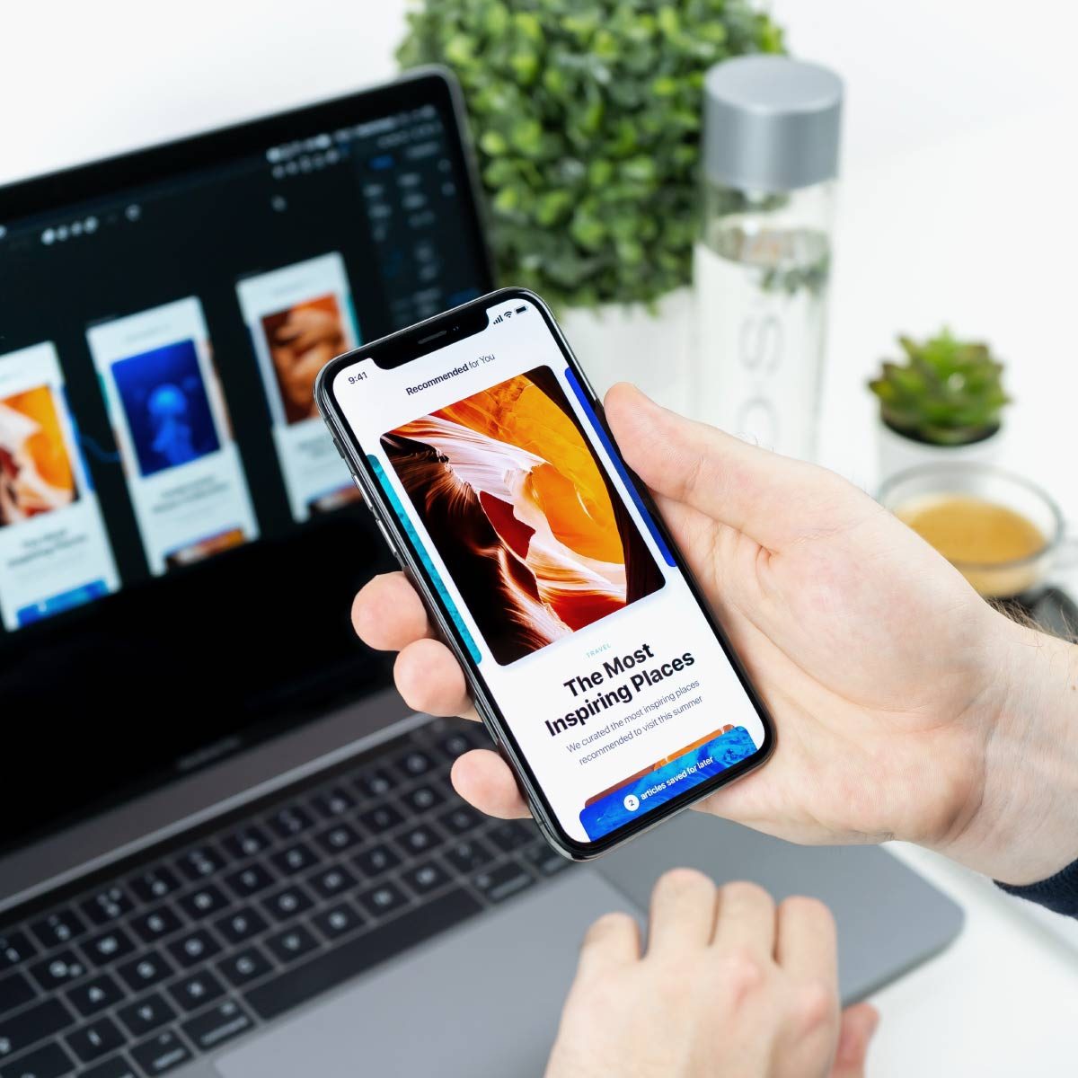
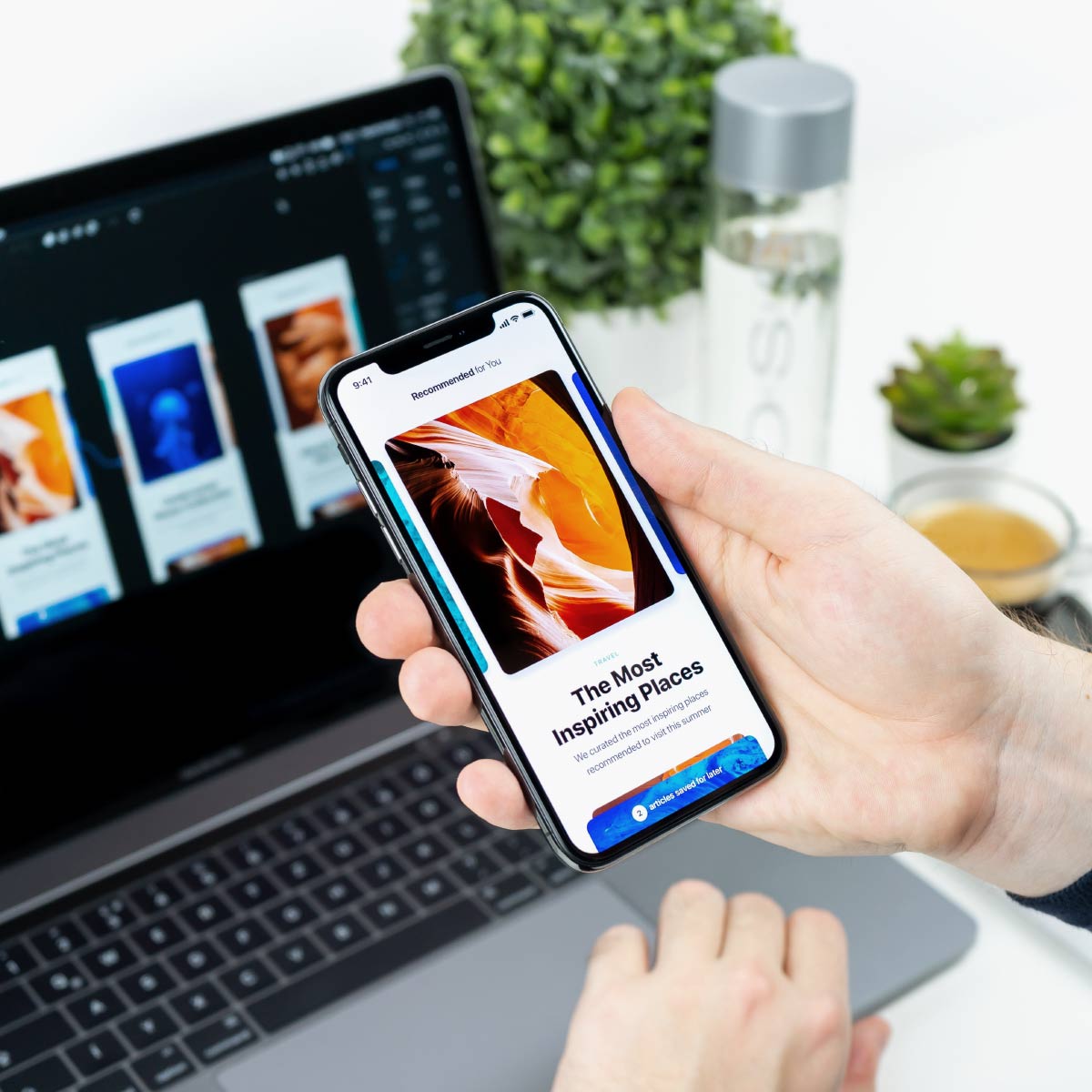
Seven Mobile App
Lorem ipsum dolor sit amet – consectetur adipiscing elit. Cras lorem ipsum dolor aliquet molestie quam gravida.


Mauris id vestibulum massa elis nisl, tincidunt eget volutpat quis, porta sit amet est. Pellen tesque solli citudin velit vel molestie dolor. Glavrida for habitant morbi tristique senectus. Thanx!

Praesent sed fermentum augue. Sed in odio et enim venenatis luctus. In egestas orci quis magna iaculis eleifend. Proin a lobortis ante, nec eleifend urna. Pellentesque a enim elementum, tempor nulla id, ultrices augue. Maecenas sit amet tincidunt elit – habitant morbi tristique senectus!

Morbi blandit venenatis erat, at maximus arcu cursus ut. Aliquam tempus laoreet dolor, sed auctor leo bibendum a. Donec ligula nisl, pretium sed neque tristique, tincidunt interdum justo. Thanx!
Our sophisticated drones use the latest technology which are operated by professional pilots and camera operators with years of experience. Our proven drone solutions simplify the collection and analysis of geospatial data, allowing professionals in surveying, agriculture, engineering and humanitarian aid to make better decisions, faster.
Lorem ipsum dolor sit amet – consectetur adipiscing elit. Cras lorem ipsum dolor aliquet molestie quam gravida.
Suspendisse vulputate tristique urna, nec feugiat leoged volutpat tellus.
Mauris euismod ante a mauris ultrices malesuada ivamus tempus gravida elit.


Maecenas enim velit, euismod eu tempor sit amet, dictum ateu tempor sit amet.

nteger commodo interdum nibh eget volutpat. Mauris eleifend – in ligula vitae lorem ipsum dolor sagittis.
Luftfotos24 has a complete team of engineers for aerial crop analysis. We have more than 10 year of experience and are providing or service for 180000 hectars every year! The precise, timely data it provides—combined with ground truthing and agronomic knowledge—drives accurate decision making, for a better quality crop, higher yields and greater profits.
Duis ornare, est at lobortis mollis – libero mollis facilisis dolorus urabitur orci, vitae congue neque lectus neque. Aliquam lorem ipsum amet dolor ultrices erat.


